Saturday 4 November 2017

Calf Top (610m)

Castle Knott (538m) and Calf Top (610m)
7 mile route from Barbon, in the western Yorkshire Dales, which recently was reclassified as 610m, making it just over the magical 2,000-ft mark! 

Calf Top - SD 664 856, marked by a Trig Point

Climbed: 03/11/17

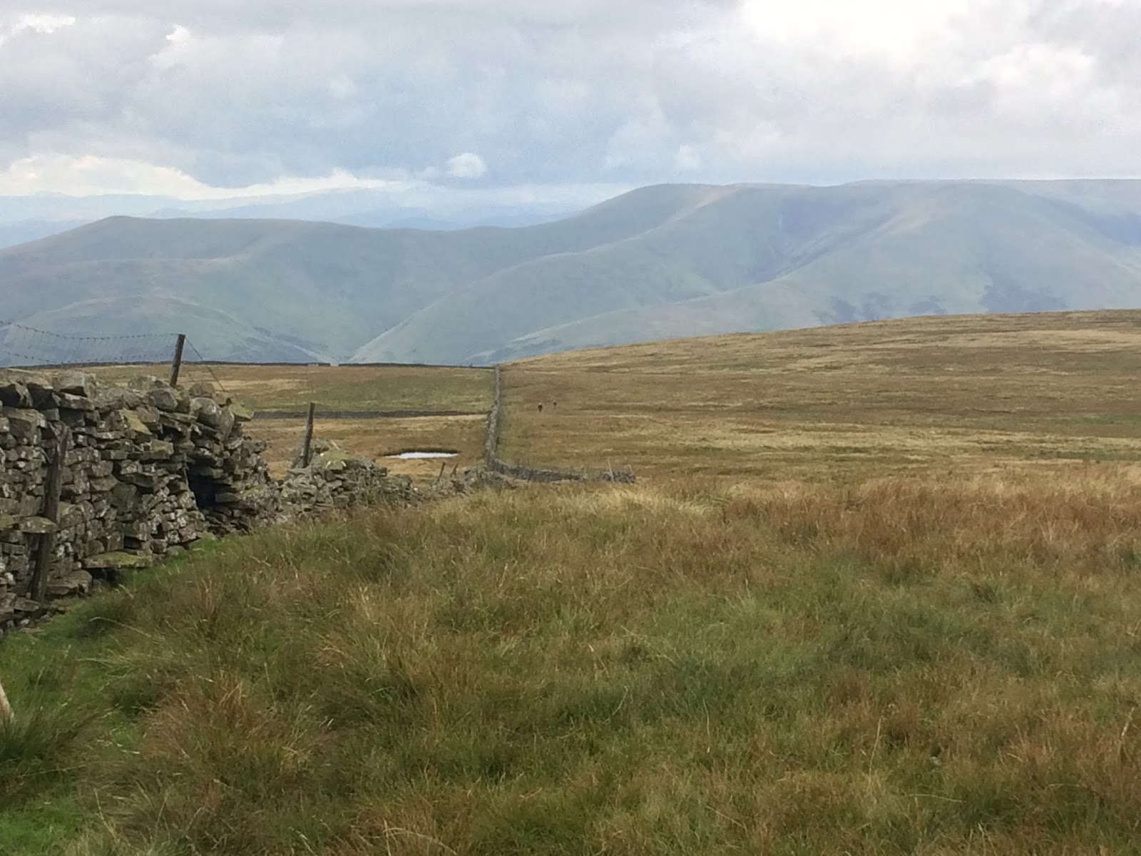
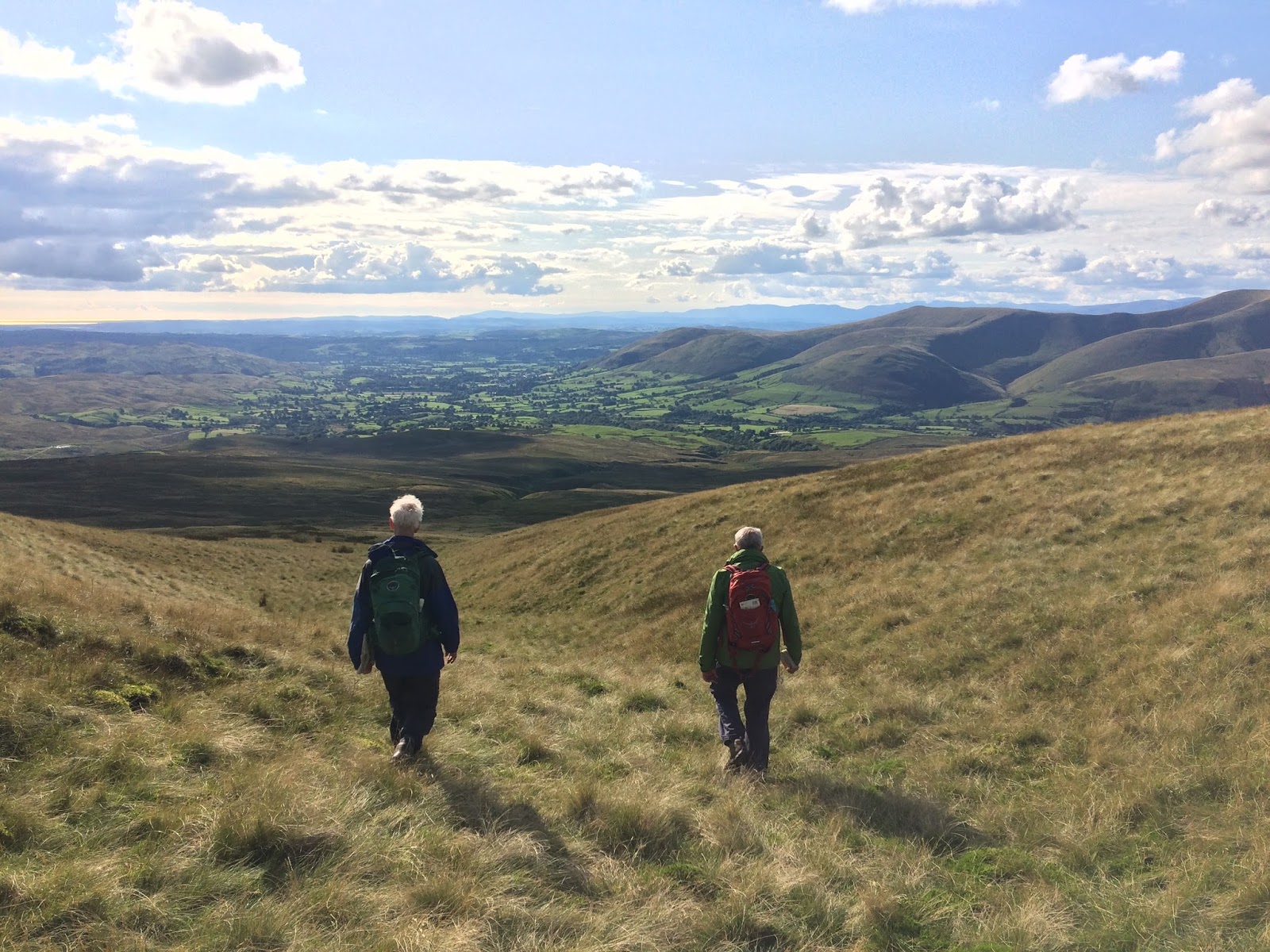
Route: Barbon, Eskholme Pike, Castle Knott (cairn), Calf Top (Trig Point), Castle Knott west ridge, Howgill Head, Berryby Fold Hill, Devil's Crag and Barbon.

Weather: bright and high cloud to begin with, then mist and drizzle on the descent. Cold on the tops

Map: OS Explorer OL2

Photos (c) Mark Reid


Friday 1 September 2017

Knoutberry Haw 676m & Tarn Rigg Hill (Baugh Fell) 678m

8 mile route from Tom Croft Hill parking area along A684 up onto Baugh Fell (pronounced Barr Fell), to the twin summits of Knoutberry Haw and Tarn Rigg Hill, and then explored the various tarns, cairns and shelters on this vast and remote fell-top. 

Knoutberry Haw (676m) - SD 731 919
Tarn Rigg Hill / Baugh Fell (678m) - SD 714 916

Climbed: 01/09/17

Route: Tom Croft Hill parking area (SD 694 912), Garsdale Foot, Ringing Keld Gutter (wall), Ringing Kelds, Knoutberry Haw, Tarn Ring Hill, northwards passing tarns to cairn on Stony Rigg, west to shelter above Gill Head, west to cairns on Black Hill, north west to cairn on Area of Disused Workings on top of western escarpment of Baugh Fell, then south west to rejoin wall along Ringing Held Gutter and back down.

Weather: sunny spells, light winds, excellent visibility and cool on the tops

Map: OL19

Photos (c) Mark Reid


Knoutberry Haw


Tarn Rigg Hill (Baugh Fell)


Monday 23 January 2017

Swarth Fell (681m) & Wild Boar Fell (708m)

12 mile route from Cotegill Bridge across the Settle & Carlisle Railway (Mallerstang), up onto Swarth Fell and Wild Boar Fell. The walk was part of a NNAS Gold Assessment navigation skills course. We navigated off the summit of Wild Boar Fell in the dark, hence no photos after the summit shots!

Swarth Fell (681m) -  SD 756 966
Wild Boar Fell (708m) - SD 758 988

Climbed: 22/01/17

Route: Cotegill Bridge, Aisgill Moor, Stubbing Rigg, Goodham Gill Rigg, Swarth Fell Pike, Swarth Fell, Wild Boar Fell, High White Scar, Low White Scar and Ais Gill, Bent Side and Aisgill Farm.

Weather: Initial mist gave way to clear, sunny but exceptionally cold day. Night navigation off the summit to finish.

Map: OL19

Photos (c) Mark Reid


 Swarth Fell


 Wild Boar Fell